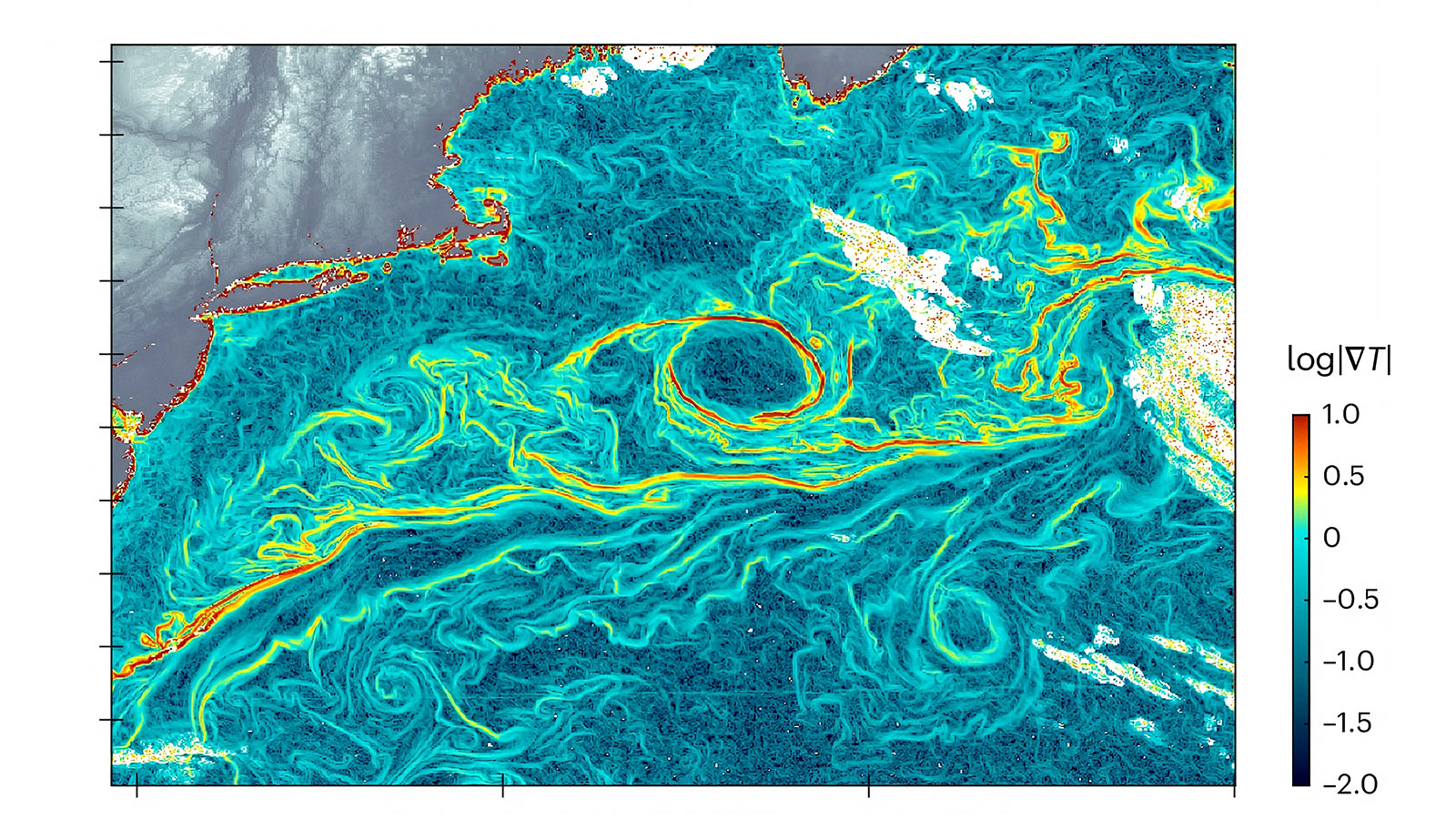
Ocean currents play a critical role in regulating Earth’s climate, transporting heat, carbon, and nutrients around the globe. Yet observing these currents at the fine scales where much of the ocean’s mixing occurs has long been a scientific challenge. Traditional satellite measurements can capture broad patterns, but they often lack the spatial and temporal resolution needed to reveal rapidly changing ocean features.
URI oceanographer Nick Pizzo and his collaborators helped address this challenge through a new artificial intelligence-powered approach called GOFLOW (Geostationary Ocean Flow). Rather than relying solely on conventional satellite altimetry, the team developed a machine learning system that analyzes thermal imagery collected by weather satellites every few minutes. The approach uses a neural network to identify patterns in sea-surface temperature data and infer ocean surface currents with unprecedented detail and frequency.
The breakthrough provides scientists with a powerful new way to observe ocean dynamics across vast regions without launching new satellites or deploying additional instruments. More accurate current measurements can improve our understanding of climate processes, weather prediction, marine ecosystems, carbon transport, and emergency response efforts such as search-and-rescue operations and oil-spill tracking.
URI-UMass UNITY Research Computing resources helped enable the large-scale computational analysis and AI development required to transform enormous volumes of satellite imagery into actionable scientific insight.